How to plan a first Huangshan visit
Huangshan, often called the Yellow Mountains in English, is a mountain scenic area in Anhui, not a single viewpoint beside the city. Its signature granite formations, pine trees, and changing cloud are reached by a combination of official shuttle buses, trails, and optional cableways. Even when you ride a cable car, you should expect substantial walking and stairs once you are on the mountain.
Three days is a compact but workable plan if you arrive near the South Gate on day one, spend day two on the mountain with an overnight stay, and descend on day three. It leaves little room for a late arrival, a cableway closure, or an early onward train. Add a fourth day if you want a more relaxed climb, a full Hongcun or Xidi visit, or a weather buffer. Our China itinerary planner explains how Huangshan can fit into a wider east-China route.
Before booking: choose your base and summit night
Tangkou is the practical base for the South Gate and its scenic-area transfer system. Huangshan North railway station, Huangshan City, Tunxi, and Tangkou are different locations; check which one appears on your ticket and include the last road transfer in your schedule. Staying in Tunxi can work if you want the old street and city services, but it adds a transfer before the climb.
If you want sunrise or an early start on the summit trails, reserve mountain accommodation as early as your dates allow and confirm the exact hotel location, check-in process, meal options, and luggage arrangement directly. Room inventory is limited, and a hotel name that says “Huangshan” may refer to a property far from the summit. Carry a small daypack uphill and do not assume there is a free or reliable place to leave large luggage at the entrance.
Ask your hotel whether it accepts foreign passports and can register each foreign guest. Save its Chinese address, entrance name, phone number, and your onward station details offline. Our China hotel booking guide has a checklist for passport check-in, baggage storage, and late arrival.
Tickets, South Gate transfers, and cableway choices
The South Gate at Tangkou is a road-access base, not a place where visitors simply drive to the upper mountain trails. Use the scenic area's current official transfer system to reach the open trailhead shown for your ticket and route. Shuttle arrangements, entry times, visitor caps, and access points may change for crowd management, safety, maintenance, or weather.
Yungu and Yuping cableways serve different sides of the mountain. Yungu brings visitors toward the White Goose Ridge side, while Yuping serves the Yuping Tower side; which direction makes sense depends on current openings, trail conditions, ticket product, and where you plan to stay. A cableway reduces part of the climb, not the walking or stair sections above it. Avoid choosing a route solely from an old map or a fixed “best direction” claim.
Check tickets, identity requirements, shuttle transfers, and cableway status through the Huangshan tourism official platform and the current notices from the Huangshan Scenic Area Administrative Committee. Enter passport details exactly as the booking channel requires and confirm accepted documents before payment. Do not rely on a historic fare or assume a ticket includes every cableway.
Day 1: arrive in Tangkou and prepare for the climb
Arrive at Huangshan North, Huangshan Railway Station, or another listed stop and make the road transfer to Tangkou with enough margin for traffic. If your arrival is late, use the evening to check in, eat, organize your layers, and verify the next morning's shuttle and entry information. Do not add a long village visit just because you reached the county early.
Check the weather forecast for both Tangkou and the mountain, since conditions at elevation can be colder and windier. Confirm whether the route and cableway you intend to use are operating, and ask your hotel which transfer stop is active for your entry time. Charge your phone, download a map, and keep a screenshot of the booking and the Chinese name of the entrance.
Prepare a small daypack with water, food, a warm layer, rain protection, sun protection, and any personal medication. Wear shoes with reliable grip; polished stone steps can be slippery after rain. Store or forward large bags only through an arrangement you have confirmed directly, and keep valuables with you.
Day 2: climb by the open route and stay on the mountain
Start from the South Gate transfer point and take the official scenic-area shuttle to the trailhead currently assigned to your route. Choose Yungu or Yuping only after checking same-day operations and your physical comfort. A cableway can save a long uphill section, but it does not make the summit area flat. Expect stairs, uneven paving, bottlenecks at viewpoints, and walking between accommodation and the peaks.
A route across the mountain may include Beihai, Bright Summit, Flying-over Rock, or Yuping Tower depending on your chosen trail, ticket, and hotel. Select a few connected stops rather than trying to cover every name. Leave time to check in before dark and to reach your accommodation without rushing. Mountain weather can obscure views, and sunrise or a sea of clouds is never guaranteed.
Stay on marked paths and use railings at exposed viewpoints. If wind, rain, lightning, or a closure notice changes the route, follow staff instructions and skip a section. The mountain is beautiful in shifting weather, but no photograph is worth stepping around a barrier or continuing when a trail is unsafe.
Day 3: sunrise if conditions allow, then descend carefully
If the weather and official notices are favorable, take a short early walk to a nearby viewpoint. Ask your accommodation which paths are open and how long the return takes in the dark or cold. Dress in layers and carry a light; do not hike beyond the permitted route. If cloud covers the peaks, use the time for breakfast and a steady descent instead of waiting indefinitely for a clear view.
Follow the current downhill route and cableway or shuttle instructions. Queues and weather can affect the descent, so do not book a tightly timed train from Huangshan North for the same afternoon. Collect luggage only after confirming its location and transfer, then choose a lowland stop if you still have time and energy.
Hongcun and Xidi are separate historic villages with their own entry arrangements; neither is part of the Huangshan mountain ticket. Choose one if your transfer timing allows, or return to Tunxi for food and rest. Trying to visit both villages and catch a long-distance train on the same afternoon can turn a rewarding mountain trip into a rushed connection.
Effort, weather, and safety on the mountain
Huangshan's stone stairways can be demanding even for fit travelers, especially after rain or when carrying a heavy pack. Pace yourself, use handrails, rest before you are exhausted, and be realistic about knee, heart, balance, or mobility concerns. Travelers who need a lower-effort visit should ask the scenic area about current accessible options; do not assume cableways remove all steps.
Mountain forecasts are uncertain. Fog can reduce visibility, wind or storms can suspend a cableway, and snow or ice can close exposed paths in colder months. Check the official notice each morning and keep accommodation or transport plans flexible. Do not purchase a non-refundable onward connection based on a promised sunrise or cloud sea.
Carry enough water and a modest snack, keep your phone warm and charged, and tell someone your planned route if you hike separately. Follow staff instructions and closure barriers. For broader regional planning, our China travel by month guide compares seasons, but the local mountain notice should determine the final decision.
Planning sources and cover photo credit
Reviewed on October 13, 2026. Use the Huangshan tourism official platform and the Scenic Area Administrative Committee portal for date-specific booking, transfer, cableway, and closure information. The UNESCO Huangshan listing provides heritage context; the separate Hongcun and Xidi listing explains the villages' distinct heritage. Verify the current route and all transport details before setting out.
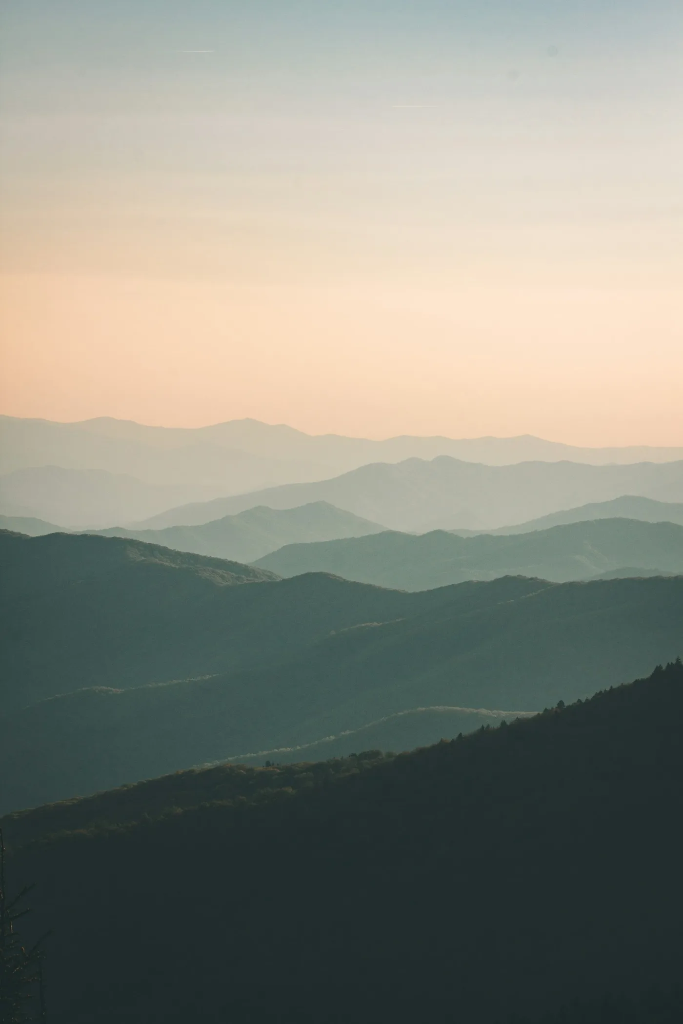
Cover photograph: Layered mountain ridges at dusk via Unsplash, used under the Unsplash License. This is a real general mountain photograph used as an illustration; it is not presented as Huangshan itself. It was converted and resized into responsive WebP files.