Why Changbai Mountain Rewards Careful Planning
Changbai Mountain is not a single viewpoint you tick off and leave. It is a volcanic massif wrapped in larch and birch forest, threaded with waterfalls and hot springs, and crowned by a crater lake most travelers know as Heavenly Lake. Because the mountain is managed through separate approach areas with their own gates, shuttle arrangements and seasonal rules, the experience changes meaningfully depending on where you enter and when you arrive. Weather moves fast here, and access decisions are made locally, sometimes at short notice. Accepting that before you book anything is the single most useful preparation you can do.
Four days is a comfortable frame: enough for two mountain days, one slower day at lower elevation and a buffer you may or may not need. The plan below is deliberately a framework rather than a schedule. Treat every transfer time, gate arrangement and shuttle detail as something to confirm against current official park notices in the week before you travel, since conditions on a mountain like this can close a road or a viewing area with little warning.
Getting There: Arrival Choices, Transfers and Base Towns
Most international travelers arrive through a Chinese hub city and continue by domestic flight, rail or road. Two towns do most of the work as bases: Erdaobaihe, the service town closest to the north approach, and Songjianghe, the practical base for the west approach. Regional airports and rail stations serve these areas, but schedules shift with the season, so check what is actually running in your travel window rather than trusting an old timetable. Coming off a long-haul flight, an overnight in the hub city is often wiser than attempting a same-day onward connection.
Transfers within the region are longer than the map suggests. Mountain roads are scenic but slow, and winter conditions can add significant time. Pre-arrange a driver or booked transfer for arrival day, and avoid planning to reach a park gate the same afternoon you land. If you want to see both the west and north sides in one trip, budget half a day of movement between them and confirm the connecting road is open — in some seasons it is not the sensible option. One well-chosen base with two full mountain days usually beats a rushed two-base itinerary.
West or North: Comparing the Two Approach Areas
The north approach, reached from Erdaobaihe, is the longer-established gateway and the one many first-time visitors default to. The base town has a comfortable range of accommodation and food, the forest scenery on the way up is generous, and drivers know the route well. It tends to suit travelers who want a fuller town to return to in the evening and who are content to build their day around park shuttles.
The west approach, from the Songjianghe side, is often favored by travelers arriving on regional flights and opens onto its own set of alpine meadows, gorges and boardwalk routes. Its character is different rather than better: slightly more open terrain, a different rhythm of shuttles and walking. Crucially, neither side is guaranteed to be operating on any given day — snow clearing, wind, road repairs and visitor volumes all affect what is open. Check official notices for both sides and let current status, not reputation, decide your route.
Heavenly Lake: A Conditional Highlight
The crater lake is why many people come, and it is also the part of the trip most dependent on luck. It sits high inside a caldera, so the rim can be clear in the morning and lost in cloud by early afternoon; wind, rain, snow and sudden fog change the picture within minutes. Plan the lake as one attempt among two, not as the fixed point the entire trip hangs on. If your first mountain day is washed out, a reserved second day turns a disappointment into an inconvenience.
Below the crater, Changbai Mountain gives plenty back regardless of the summit forecast. Waterfall viewpoints, riverside boardwalks, hot springs and old-growth forest trails make a satisfying low-exertion day, and several are reachable with short walks rather than long climbs. If stairs and altitude are a concern, or you are traveling with older family members, build the trip around these lower attractions and treat the lake as a bonus. Confirm which lower-elevation sites are open and how they are reached before you set out.
Cold, Wind, Stairs, Altitude and Your Spare Day
The most common mistake here is packing for the town rather than the summit. Even in midsummer the rim is markedly colder and far windier than the base, and a warm morning in Erdaobaihe says little about conditions higher up. Bring a windproof shell, a warm mid-layer, gloves and a hat whatever the month, plus sun protection for clear days. Expect stairs — many of them — on boardwalks and summit paths, and take them slowly. The rim sits above 2,000 metres; that is not extreme altitude, but it is enough to notice if you are unfit, unacclimatised or rushing.
Keep your fourth day genuinely spare. If the weather cooperates, use it for a second lake attempt, a hot-spring afternoon or a forest walk; if it does not, you will be glad of the slack. Before departure, verify: current gate and shuttle arrangements on official park channels; which approach areas are open during your dates; transfer and driver bookings; forecast and road conditions a few days out; passport and ID requirements for park entry and hotel registration; grippy footwear and layered clothing; and an offline copy of key details in case connectivity on the mountain is patchy.
Planning links and cover photo source
For related planning, read Harbin and Yabuli winter itinerary, China winter travel guide, China national parks comparison guide. Check each operator's current visitor notice before paying, because access, reservations, transport and weather procedures can change.
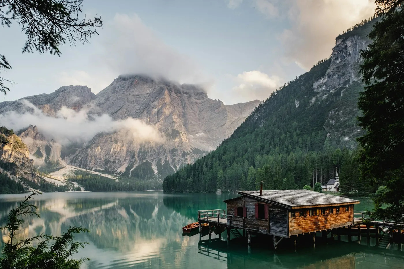
Cover photo: Mountain lake landscape via Unsplash, used under the Unsplash License. This is a real general mountain photograph used as an illustration; it is not presented as Changbai Mountain or Heavenly Lake.